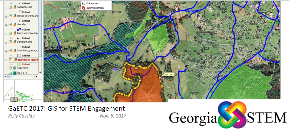
GIS or Geographical Information Systems are now available for public educators through sites like ARC GIS   and the new Google Fusion Tables. Check out the presentation from GaETC 2017 below to see how you could use GIS in class.  The #GaETC17 session attendees also created the map below during the session.

 We had so much fun learning about Google Fusion Tables, ARCGIS and creating a map to show where we are all from. Hope you enjoy our GIS map of #GaETC17 below. Want to contribute your data? Add your information to this Google Sheet.
Share

Leave a Reply

Your email address will not be published. Required fields are marked *